AARSE 2016 – Kampala, Uganda
Presentation on the Hydrology Thematic Exploitation Platform
The 11th International Conference of the African Association of Remote Sensing of the Environment (AARSE) took place in Kampala, Uganda on October 24th – 28th 2016. AARSE was founded in 1992 and As a member of the UN-ECA’s Executive Working Group on Geo-information, AARSE alsoparticipates in, and contributes to the activities of the UN-ECA Committee on Development Information, Science and Technology (CODIST), sub-Committee on Geo-information.
The bi-annual international conference brought together over 600 scientists, practitioners, vendors of products and government officials from various countries across the globe. A large part of the first day was dedicated to the perspectives of cooperation in Earth Observation between Africa and China. One of the sub-themes was Management of Big Data and Spatial Data Infrastructure. During the Session dedicated to COPERNICUS, the latest developments of H – TEP were illustrated by Massimo Menenti with a presentation emphasizing the advantages of the cloud implementation. The presentation concluded the Session after five presentations on different aspects of Copernicus and emphasized the evolution from large centralized data archiving and processing facilities and services towards user – driven and end – to – end exploitation of EO data.
The first day of AARSE was animated by the initial Panel Debate on cooperation between Africa and China
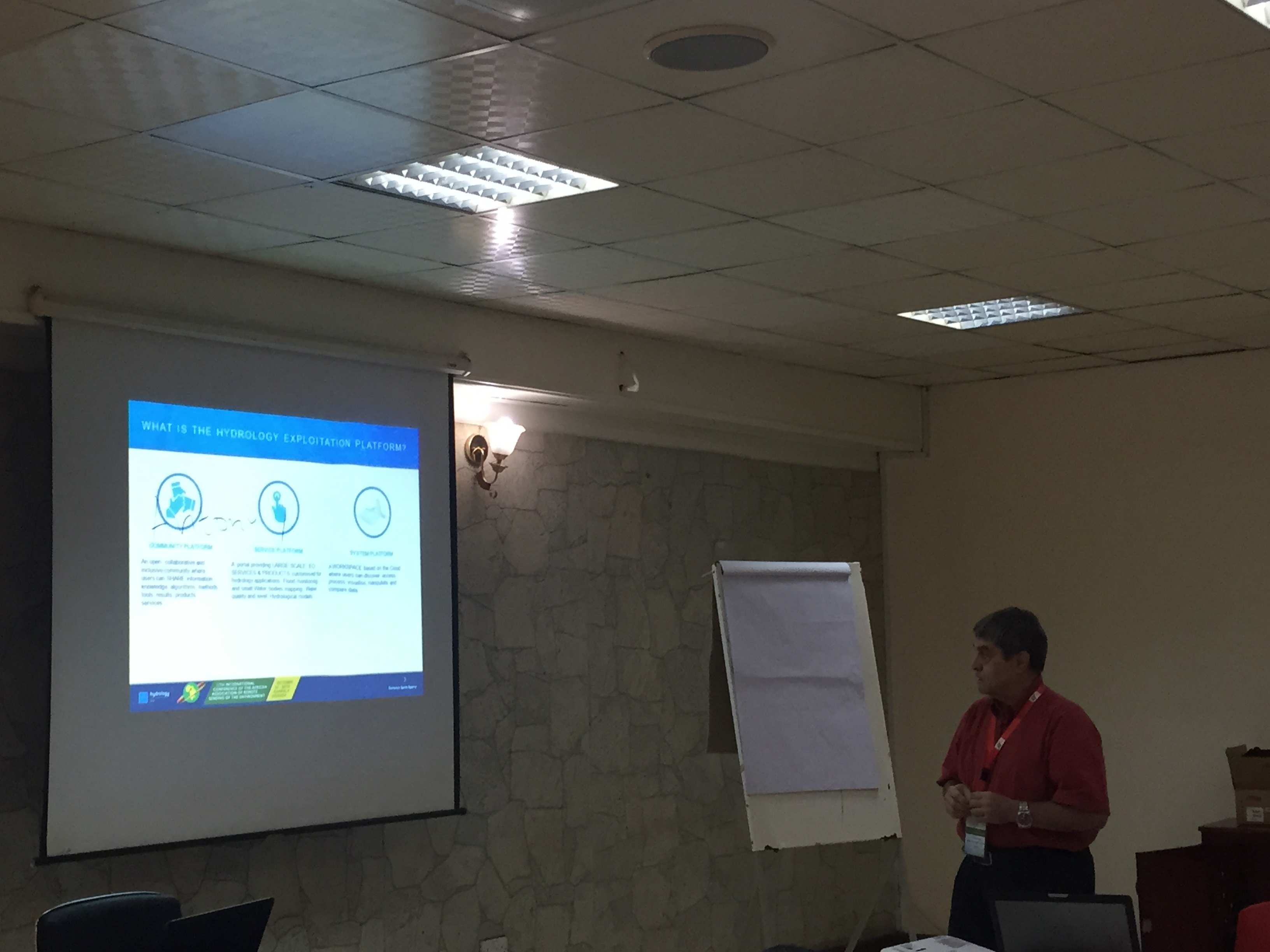
Massimo Menenti presents H – TEP at AARSE 2016