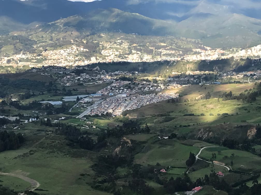
Ciudad Victoria, an urban estate in Loja, Ecuador, has been identified as the most damaged urban area in southern Ecuador due to unstable ground conditions. Earlier reports pointed to local causes like soil collapse or expansive soil behavior and mass movements as potential reasons for the damage.
A recent independent study by Guamán et al. (2024) has now provided deeper insights into the origins of the damage observed in Ciudad Victoria. Using data from the Parallel Small Baseline Subset (P-SBAS) processing service, available through the European Space Agency’s Geohazards Exploitation Platform (GEP), the study analyzed surface displacements in the area between 2015 and 2021.
The findings revealed an intriguing pattern of ground displacement, with movements occurring in two distinct directions within the same area. This dual-direction movement is a critical factor in understanding the extent and nature of the damage.
Moreover, the study’s time series analysis helped clarify the temporal behavior of these movements. The episodic nature of the displacements, observed through InSAR data, shows a strong correlation with periods of intense rainfall (above 140 mm/month). This correlation could play a crucial role in developing an early warning system for Ciudad Victoria.
The GEP results were further corroborated by examining the widespread damage to buildings, UAV photographs, and a detailed geomorphological map. The study concluded that the primary cause of the observed movements and related damages is a large slow-moving flow-like landslide with two main bodies.
General view of Ciudad Victoria from the west. The urban estate is centered in the image.
These findings have just been published in the Journal of South American Earth Sciences.
For more information about this study, please contact gaguaman2@utpl.edu.ec or jpgalve@ugr.es.
