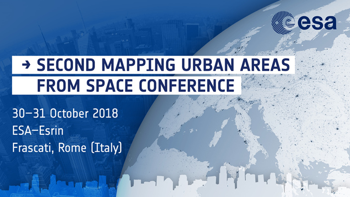
In the framework of its EO Science for Society programme, the European Space Agency (ESA) is organising the second conference on Mapping Urban Areas from Space 2018 (MUAS 2018) at its ESRIN establishment in Frascati, Italy on 30 and 31 October 2018.
From the beginning of the years 2000, more than half of the world population lives in cities and the overall trend of urbanization is growing at an unprecedented speed. Rapid and unplanned urban growth has brought a lot of challenges that city authorities are faced with, such as increased air pollution, inadequate infrastructure and services or higher vulnerability to disasters. The importance of effective urban planning and development measures that enhance city resilience and urban welfare has never be so imperative. The use of Earth Observations and their integration with other source of information into effective urban planning tools can produce a quantum leap in the capacity of countries to track progress towards and achieving international urban development goals such as those of the Sustainable Development Goals (SDG 11: make cities and human settlements inclusive, safe, resilient and sustainable), the Sendai Framework for Disaster Risk Reduction or the new Urban Agenda (Habitat III).
The purpose of the MUAS 2018 conference is to present the state of the art research in the application of remote sensing in urban applications, and to discuss the opportunities and challenges which lie ahead for mainstreaming EO solutions into urban development practices and policies.
The conference will provide a forum of exchange:
• for scientists and students to present and discuss their latest research findings;
• for EO service providers and private companies to showcase their latest product and service development;
• for computer scientists and infrastructure providers to present the recent technological advances in computing platforms and data visualisation/analytics tools which can enable the adoption of EO solutions for the urban environment;
• for urban practitioners and policy makers to share their priority issues and needs with the remote sensing community.
A large number of thematic areas are intended to be addressed by the conference, such as but not limited to:
- Remote sensing methods for urban mapping (HR Multispectral, HR Hyperspectral, VHR, LiDAR, SAR/inSAR, Thermal Infrared)
- multi-sensor, multi-scale and multi-temporal approaches to urban mapping
- global mapping and monitoring of human settlements
- detailed urban land cover and land use mapping
- urban change detection
- 3D mapping of cities
- modelling of urban development and growth patterns
- characterisation of urban areas
- urban mapping and population distribution
- mapping of informal settlements
- nature based solutions (urban greening, urban ecology)
- resilient cities (including disaster risk reduction in cities)
- urban climatology (urban heat islands, urban air quality)
- urban subsidence
- citizen science and crowd sourcing
- platforms and tools for urban applications
- EO integration in urban social science
- EO integration into urban development agendas (SDGs, Sendai Framework, New Urban Agenda)
The outcome of this conference will help to further shape the next generation of R&D activities in the frame of ESA Earth Observation Programmes.
For more information, please go to the MUAS 2018 website at:
http://muas2018.esa.int/
To submit your abstract/s, please follow the instructions available at:
http://muas2018.esa.int/page_abstract_sub.php
The abstract submission deadline has been extended until 22 June 2018.
No participation fees will be charged. Participants are expected to finance their own travel and accommodation expenses.
The official language of the workshop is English.
