Landslides are difficult to predict and still often to detect. They cause severe socio-economic constraints in mountainous regions and significant risks to people and infrastructures. These aspects call for sustainable land use planning with innovative mapping, monitoring and modelling tools. These are the objectives of the eo4alps-landslides initiative which aims at exploiting the potential of satellite data and advanced processors and services for landslide hazard assessment in the Alpine region.
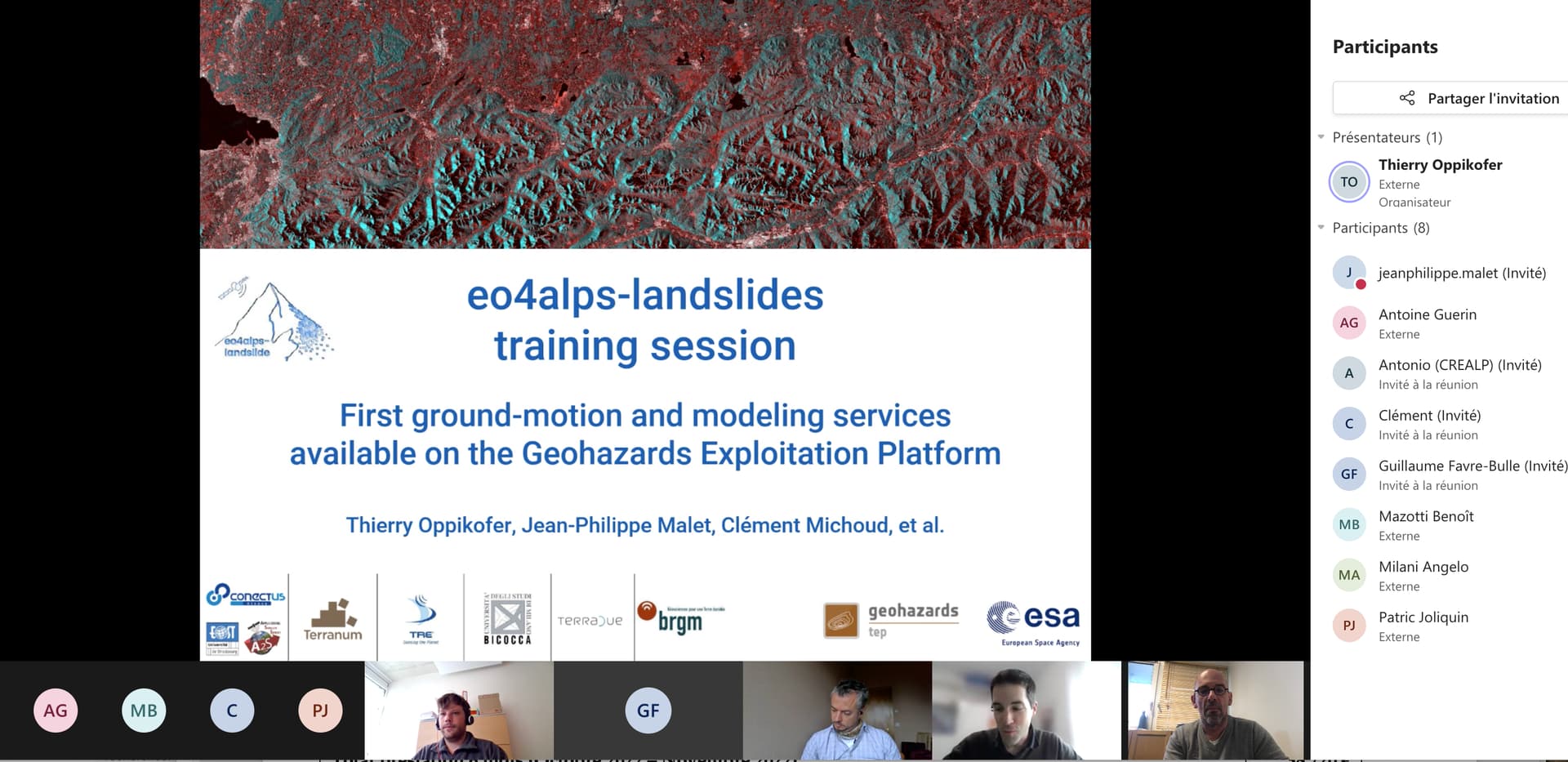
Since early April, on-line demonstrations sessions are currently organized for a series of users (private offices in engineering geology and hazard/risk analysis, geological surveys, public authorities in charge of risk management); these sessions target the training on several optical and SAR ground motion and modelling services accessible on the eo4alps-landslides App. Fifteen end users from Italy, Switzerland, France and Austria have currently access to 8 services tailored for landslide applications, as well as to third-party advanced products. If you are interested in using the services of the eo4alps-landslides App, read the leaflet and contact us at: info@eo4alps-landslides.eu
The initiative is impulse by the European Space Agency through its regional initiatives aiming at promoting and fostering the use of satellite data in society.