Interested in a rapid landslide detection after major triggering events such as large earthquakes or heavy rains? Interested in the creation of landslide inventory maps as an input to susceptibility and hazard quantification?
The new GEP services ALADIM-S2 and ALADIM-VHR are for you! The two services allow landslide detection from the analysis of pre- and post-event multispectral imagery, and is based on change detection methods and Artificial Intelligence.
-
ALADIM-S2 allows the processing of High Resolution (HR) multispectral data (typically Sentinel-2)
-
ALADIM-VHR allows the processing of Very-High Resolution (VHR) multispectral data (typically Pléiades and Spot 6/7).
For the two services, a training dataset of manually mapped landslides (by digitalization), the extent of the training areas, and the extent of the region of interest (ROI) needs to be provided. The service outputs consist in a database of landslide polygons than can be assimilated to an Earth-Observation derived landslide inventory.
Example of service results using Sentinel-2 images for the mapping of landslides triggered by the Tropical Cyclone Idai (March 2019) in Mozambico and using Spot-6/7 images for the mapping of landslides triggered by Hurricane Matthew (October 2016) in Haiti are presented below, and are also posted here (for ALADIM-S2) and here (for ALADIM-VHR).
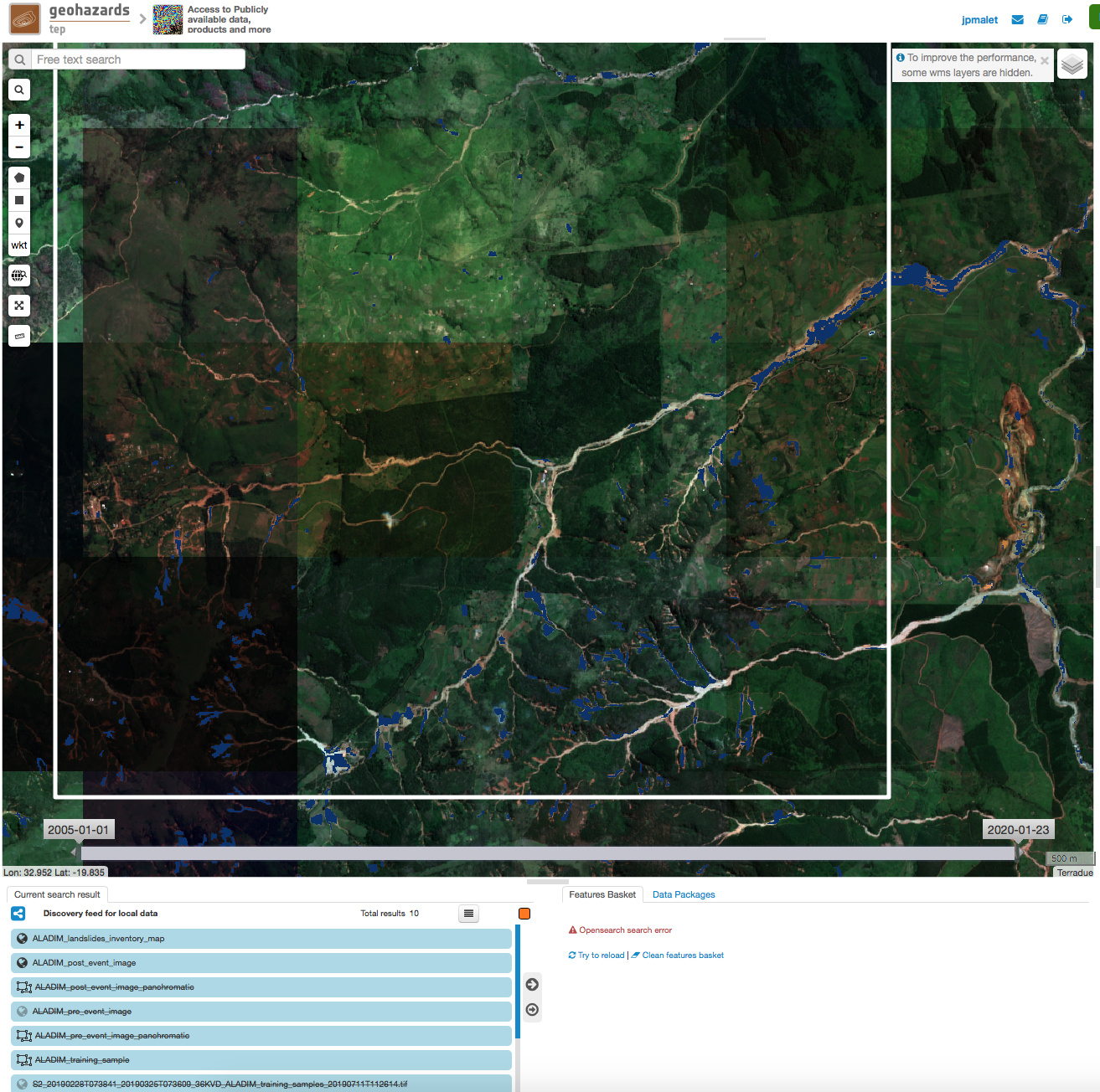
ALADIM-S2 outputs: landslide detection after Cyclone Idai in Mozambico
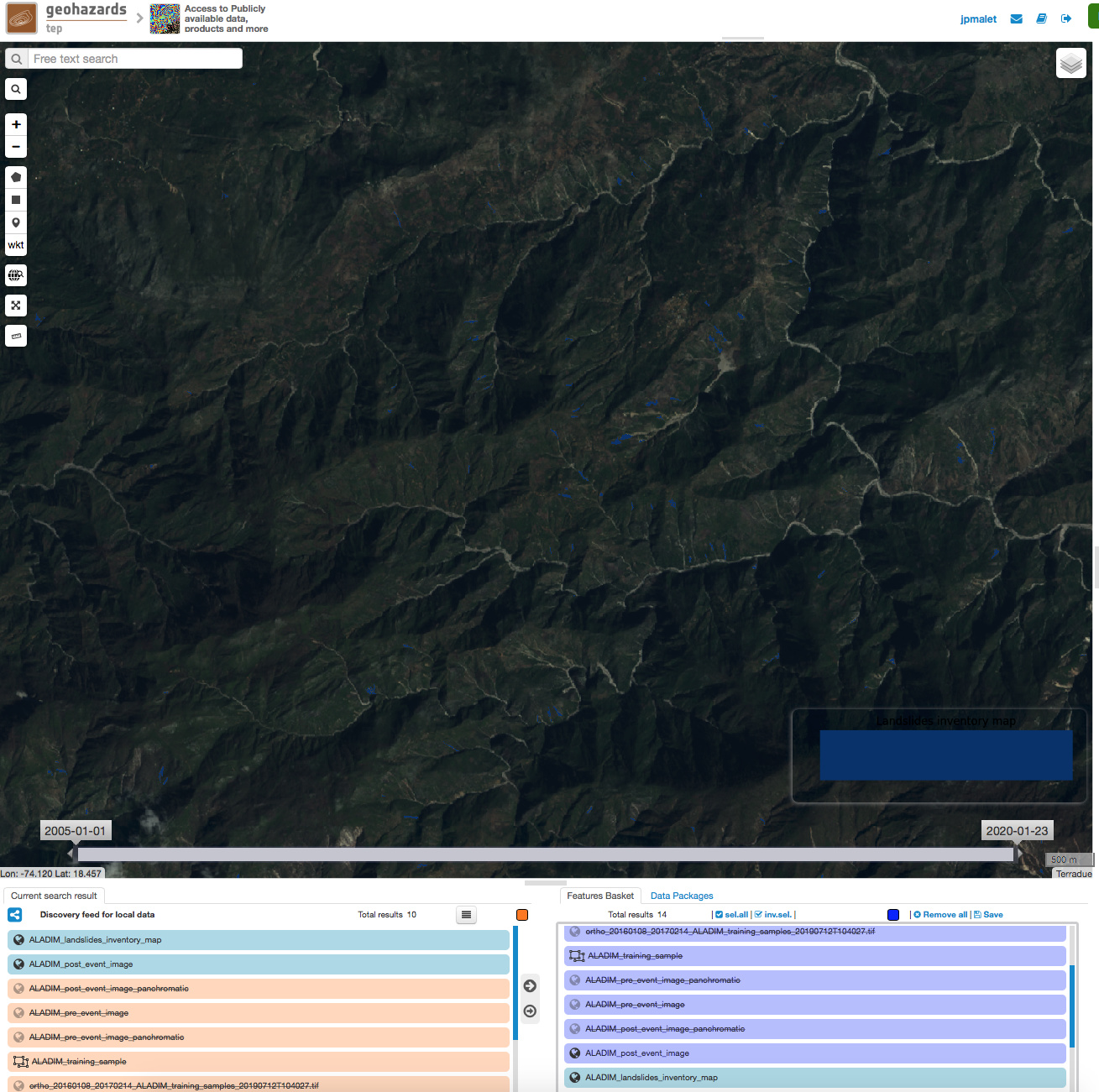
ALADIM-VHR outputs: landslide detection after Cyclone Matthew in Haiti. This work is part of theCEOS Recovery Observatory leaded by CNES.
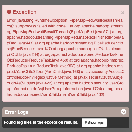
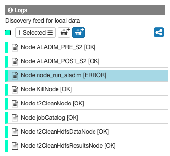
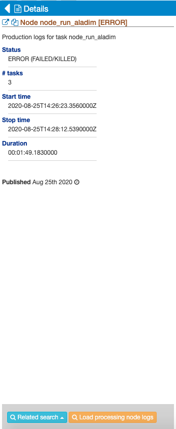
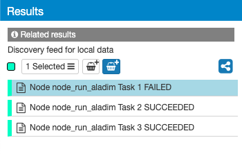
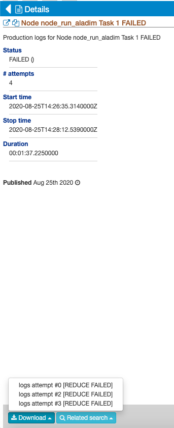
The services are now operative after testing on a series of images, but still need to be qualified on more images … User requests for accessing the service are evaluated by ESA and CNRS-EOST. You can contact us by replying to this topic, or by emailing to the GEP contact or the service maintainer.