The U.S. Geological Survey, National Oceanic and Atmospheric Administration (NOAA), AMERIGEO and Open Geospatial Consortium (OGC), invited the Geohazard Exploitation Platform to participate in a 2-day workshop on Cloud-based processing and provisioning platforms for Earth observation data. This workshop is part of the OGC Disaster Pilot 2021 Initiative and the goal was to show currently available possibilities for extending the capacity of satellite ground segments to process, store, and distribute EO products by leveraging cloud-based infrastructure, platforms, and applications.
The workshop took place on Thursday and Friday, December 3-4, 2020 and it was conducted virtually as webinars on the GoToMeeting platform. Presentations were made in both Spanish and English.
We presented GEP on the first day of the workshop (Figure 1) together with presentations from other providers and users of EO cloud platform technologies. All presenters explained the technologies and how these are being used with real satellite content to address real user needs on the ground. A particular emphasis has been given to increasing collection, processing, integration, and distribution capacity for effective response to emergency and disaster situations. Amazon made an interesting presentation showing the examples of how AWS customers have migrated big geospatial data and workflows to the Cloud and USGS showed how they are embracing open architectures for cloud-native earth system analytics.
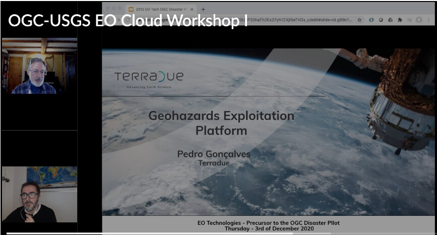
Figure 1 - Geohazards Exploitation Platform presentation by Pedro Gonçalves (Terradue) - Precursor to the OGC Disaster Pilot - 3 December 2020
The second day of the workshop was an opportunity for feedback and breakout discussions among sponsors, presenters, and attendees. In these discussions, we dived more deeply into the details of EO Cloud computing technologies, as well as to clearly delineate user needs and requirements. Particular discussion themes included linking EO data up to cloud platforms, and then distributing EO products to users in the field under conditions of limited connectivity and access to technology.
This workshop was a good opportunity for GEP to demonstrate our interest in the upcoming OGC Disaster Pilot 2021. This OGC Pilot is a follow-up to the Disasters Interoperability Concept Development Study (CDS) and the OGC Disasters Resilience Pilot 2019, sponsored by USGS. These initiatives focus on demonstrating how data standards help stakeholders and decision makers gain new and beneficial perspectives into social, economic, and environmental issues related to disasters, and include activities:
- To articulate the value of interoperability and to demonstrate the benefits of standards through pilot(s) and demonstrations;
- To improve disaster planning and response capability;
- To develop Cookbook / User guides and demonstrations to support developers, analysts, disaster managers, and other stakeholders.
The OGC is an international voluntary consensus standards organization encouraging the development and implementation of open standards for geospatial content and services, sensor web and Internet of Things, GIS data processing and data sharing. The AmeriGEOSS community Platform is a regional resource to promote collaboration and coordination among the GEO members in the Americas.