On January 15, 2022, a massive eruption occurred at the Hunga Tonga volcano, Tonga. The eruption released a large cloud of ashes visible from space and a tsunami alarm was triggered over the entire Pacific.
The same day of the eruption, the Copernicus satellite Sentinel-1 passed over the region allowing a first estimation of the changes. Significant changes are seen on several islands located close to the Hunga Tonga volcano especially on the Mango island. The Mango island is located north east from the Hunga Tonga volcano at around 70 km. The island is inhabited in its northern coast.
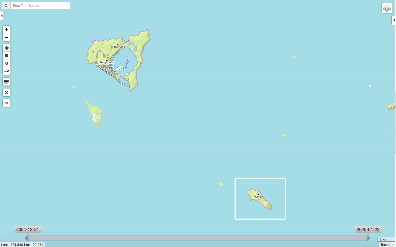
Location of the Mango island (white box).
One can see significant changes in the surface of the island by comparing the Sentinel-1 acquisitions of January 3, 2022 and January 15, 2022. The radar amplitude decreases in the northern part of the island. This drop in the radar amplitude is difficult to interpret but might be due to the presence of water (due to the tsunami) or eventually ashes.
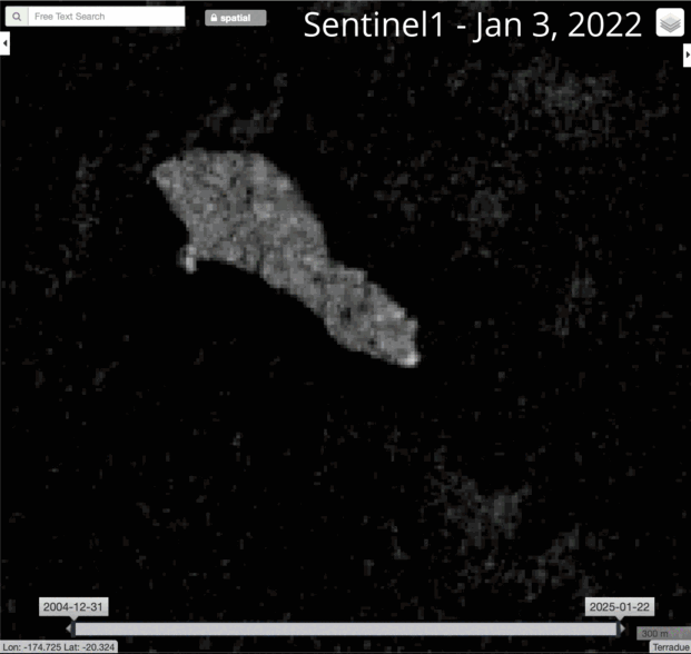
Evolution of the Mango island seen by the Sentinel-1. Contains Copernicus Sentinel data.
Sentinel-2 could captured a cloudless image of the Mango island on January 17, 2022. The island seems to be covered by ashes and the Mango village severely affected.
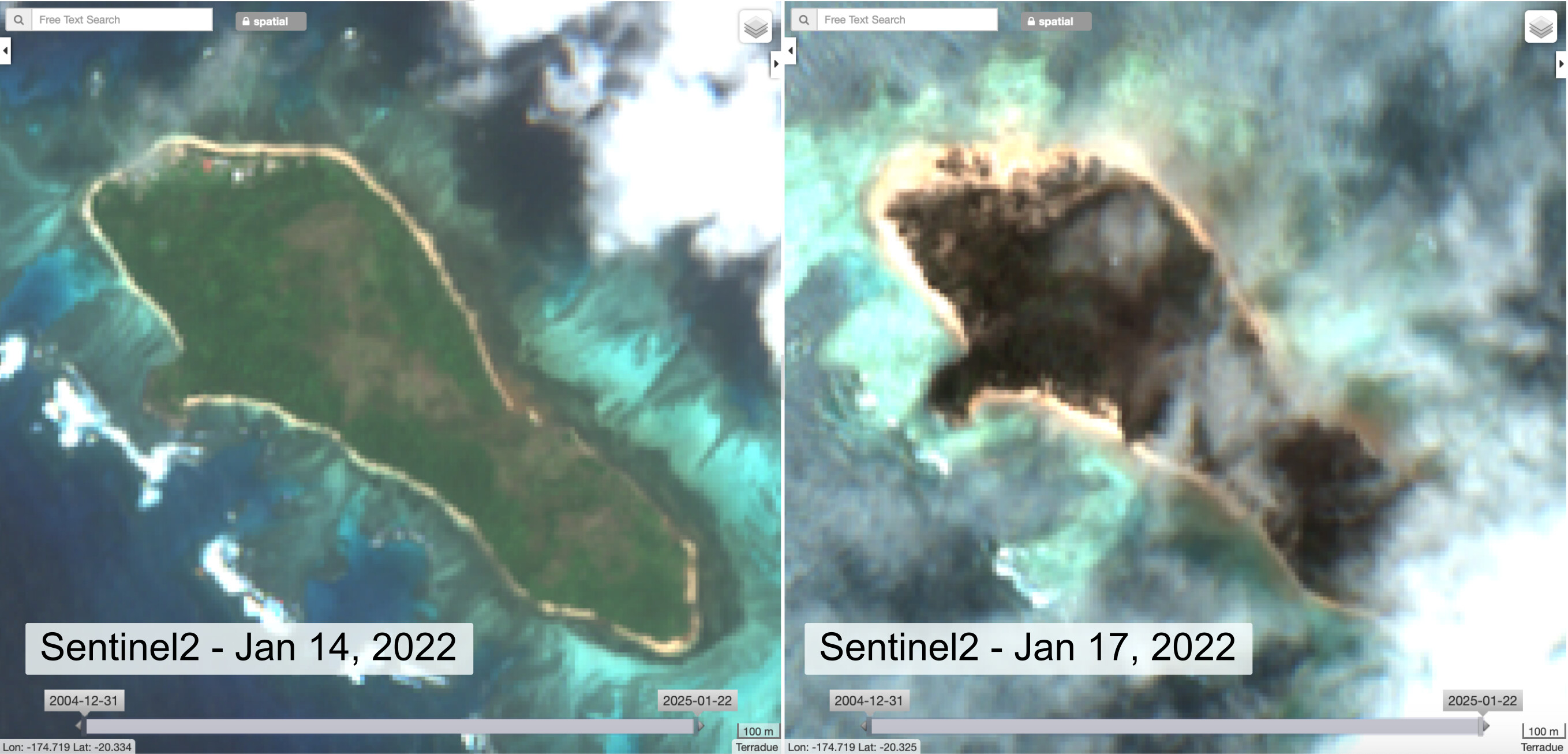
Evolution of the Mango island seen by the Sentinel-2. Contains Copernicus Sentinel data.
Sentinel-1 and 2 data and products related the Hunga Tonga eruption can be visualize here.