The MPIC-OPT services are currently presented at the AGU 2020 Fall Meeting in the form of a digital poster visible to conference participants. The service chain provides ground displacement/velocity from Copernicus Sentinel-2 time series by applying image matching techniques. The service has been derived into three services and target three specific applications: co-seismic deformation mapping (MPIC-OPT-ETQ), glacier monitoring (MPIC-ICE) and landslide motion monitoring (MPIC-SLIDE).
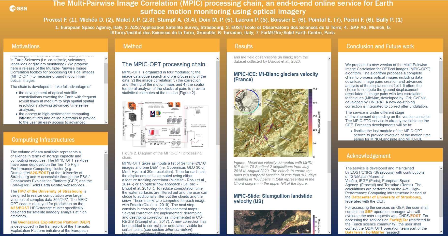
Figure 1. Screenshot of the iposter.
The services have been tested on different use cases : Ridgecrest (US, California) to measure the coseismic displacement of the 2019 earthquakes, the Mont-Blanc massif (France and Italy) to measure ice velocity, at the unstable slope of Slumgullion (US, Colorado) to monitor landslide velocity, and at the region scale of the Ubaye Valley (France) to monitor and map landslide activity. The results show the capability of the services to measure a large range of horizontal motion from cm/day to several m/yr.
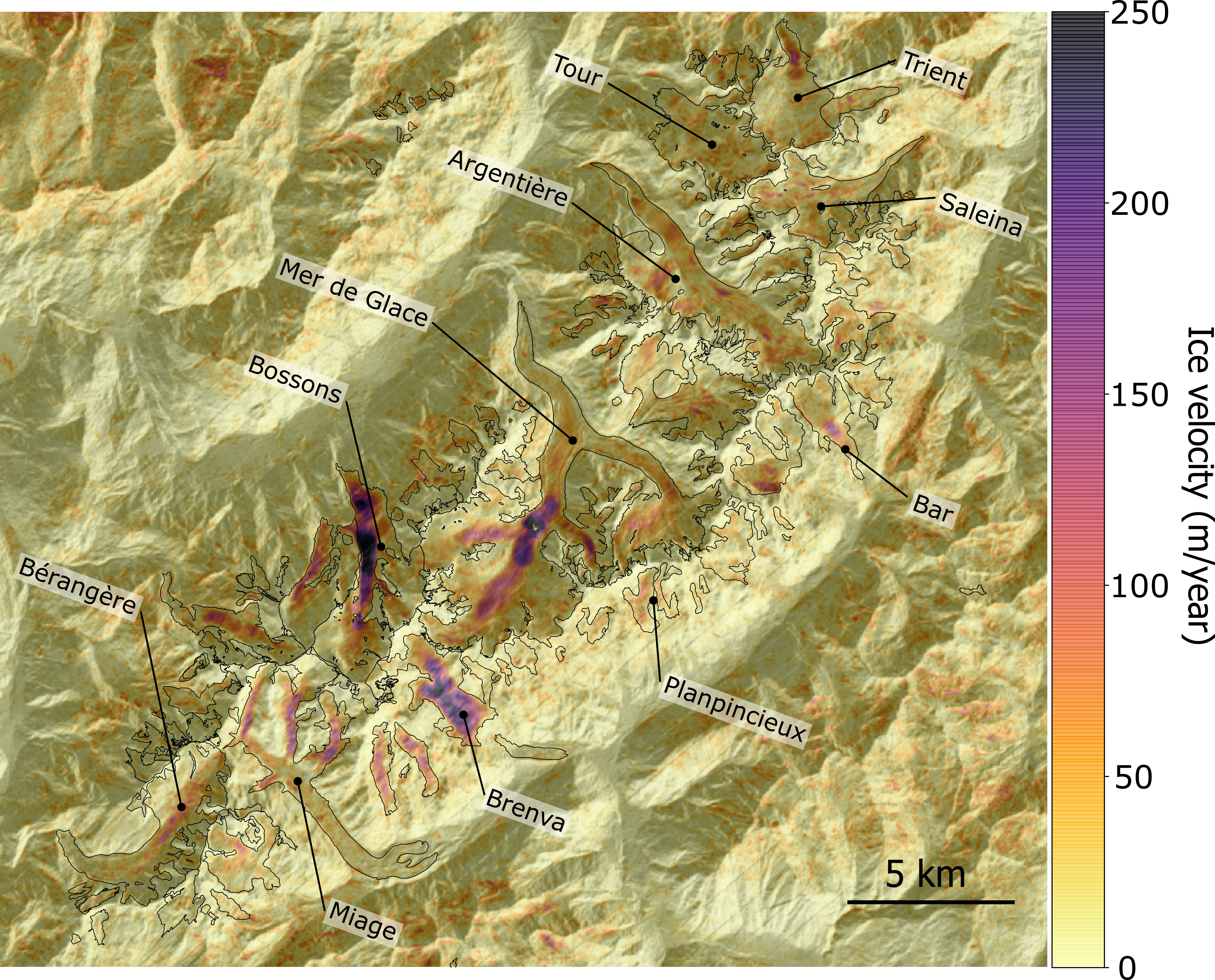
Figure 2. Mean ice velocity computed with MPIC-ICE from 70 Sentinel-2 acquisitions from July 2015 to August 2020. The criteria to create the pairs is a temporal baseline of less than 100 days resulting in 1086 pairs in total represented in the Chord diagram in the upper left of the figure. The results are available here on the GEP.
The MPIC-OPT-ETQ is already available on the Geohazards Exploitation Platform (GEP) originated by the European Space Agency and the MPIC-OPT-SLIDE service and the MPIC-OPT-ICE service are currently under final internal testing and will soon be available to the GEP user community.
For AGU2020 participants the poster can be visualized through the AGU portal.