The Urban Exploitation Platform (Urban TEP) is a web-based Earth Observation platform dedicated to supporting urban sustainability and planning. Operated by Terradue, in collaboration with the German Aerospace Center (DLR), Brockmann Consult, GISAT, and IT4Innovations, Urban TEP delivers ready-to-use services that empower urban stakeholders with EO data analytics and visualisation tools tailored for city environments.
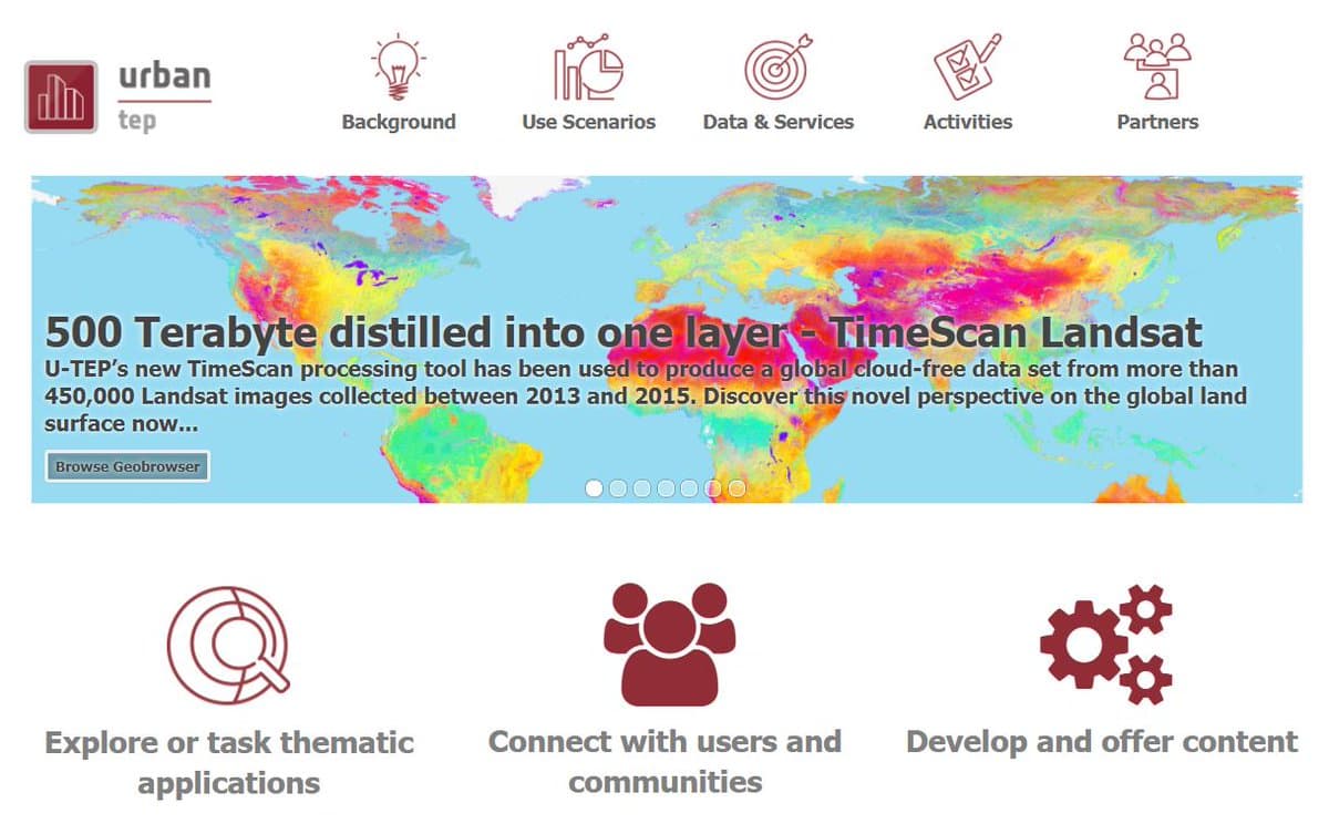
Urban TEP enables users to extract valuable indicators from EO data to support a wide range of use cases, including land cover mapping, urban heat monitoring, impervious surface detection, and vegetation analysis. These services are accessible directly from the browser and are backed by scalable cloud infrastructure for high-performance processing over large urban areas.
![]() Access the platform: https://urban-tep.eu
Access the platform: https://urban-tep.eu
A Platform Designed for Urban Challenges
Urban TEP delivers a broad set of services and tools focused on extracting indicators from satellite imagery to support urban analysis. These include:
- Land use and land cover mapping
- Urban growth and expansion analysis
- Urban heat island monitoring
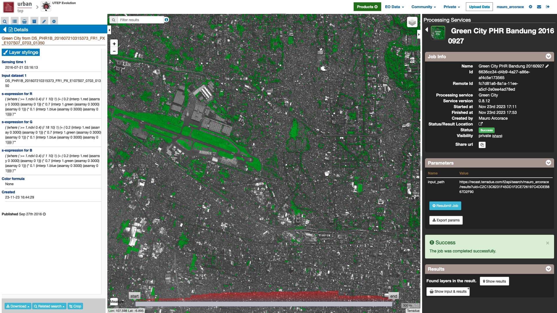
- Green space and impervious surface detection
- Air quality and urban vegetation indicators
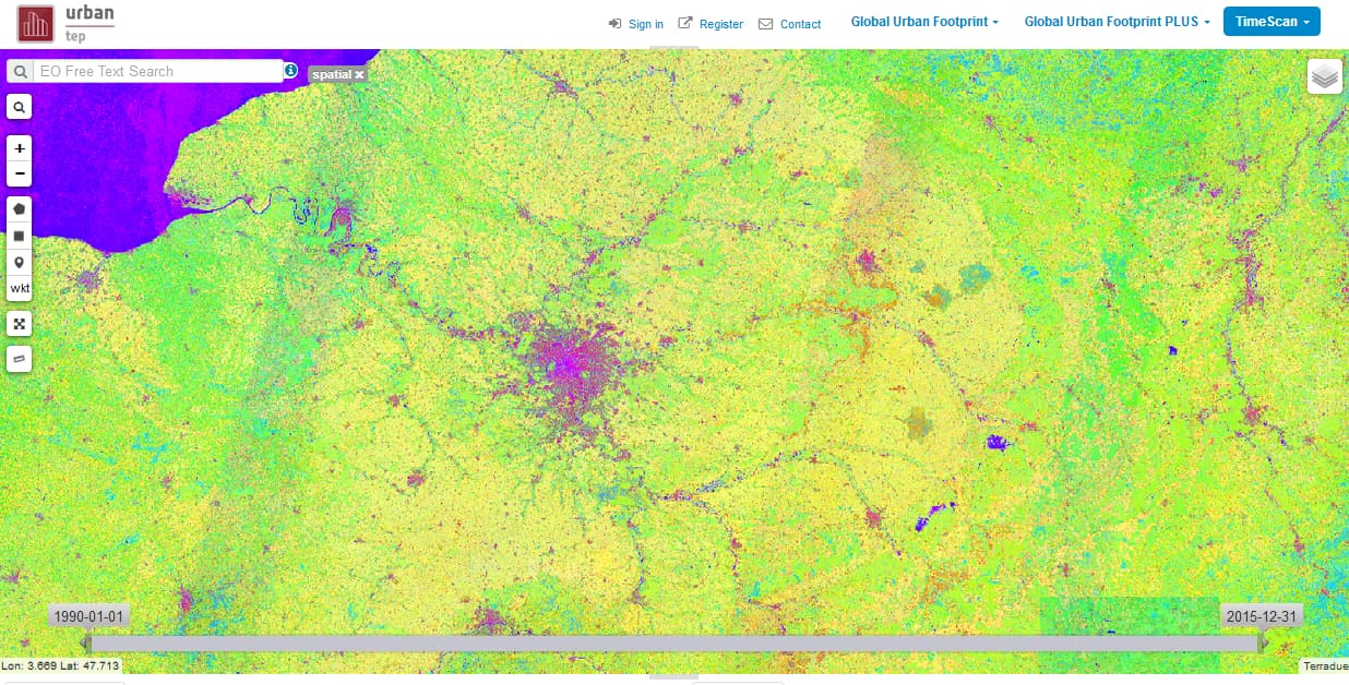
The platform integrates EO data from Sentinel-1, Sentinel-2, Landsat, and the Copernicus Urban Atlas, offering powerful capabilities for visualising and quantifying spatial changes in cities over time.
All services operate on scalable cloud infrastructure, allowing users to run data processing over large areas without requiring local hardware or software.
Supporting Users from Policy to Research
Urban TEP serves a diverse range of users:
- Urban planners and municipal authorities seeking to support sustainable city development
- Researchers and academic institutions working on urban dynamics and environmental impacts
- EO application developers building and testing new indicators and tools
Users benefit from intuitive browser-based interfaces, pre-integrated workflows, and access to large-scale EO datasets—all designed to streamline analysis and decision-making in urban contexts.
Flexible Access and Operational Models
Urban TEP is designed for both experimentation and operational service use, offering:
- Open-access tools for exploration and demonstration
- Sponsored access via ESA’s Network of Resources (NoR)
- Commercial licensing for larger-scale or recurring use cases
These access models encourage entry by new users while supporting long-term engagement through scalable and sustainable service offerings.
Impact Across Cities and Communities
Urban TEP is already supporting urban management use cases across Europe and internationally, including:
- Heat stress and urban climate monitoring
- Mapping impervious surfaces for water runoff modelling
- Quantifying green space for health and quality-of-life assessments
- Tracking informal settlements and land use changes
By offering ready-to-use thematic applications, Urban TEP helps translate satellite data into operational knowledge for city stakeholders.
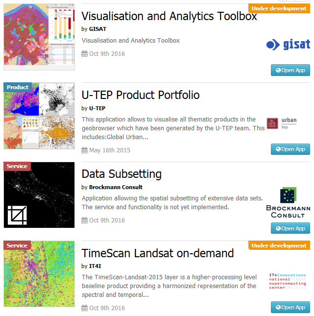
Building an Ecosystem of Urban EO Applications
Urban TEP also supports the integration of new applications and services. Developers can:
- Package their EO processing chains as Application Packages
- Deploy services in the platform’s cloud environment
- Share or commercialise their services via revenue-sharing agreements
This model encourages innovation and reuse, ensuring that Urban TEP continues to evolve as a community-driven platform for urban analytics.
Start Exploring Urban TEP
Whether you’re designing urban sustainability indicators, supporting green city strategies, or prototyping your own EO-based applications, Urban TEP offers a robust, cloud-native environment to accelerate your work.
![]() Learn more and register: https://urban-tep.eu
Learn more and register: https://urban-tep.eu