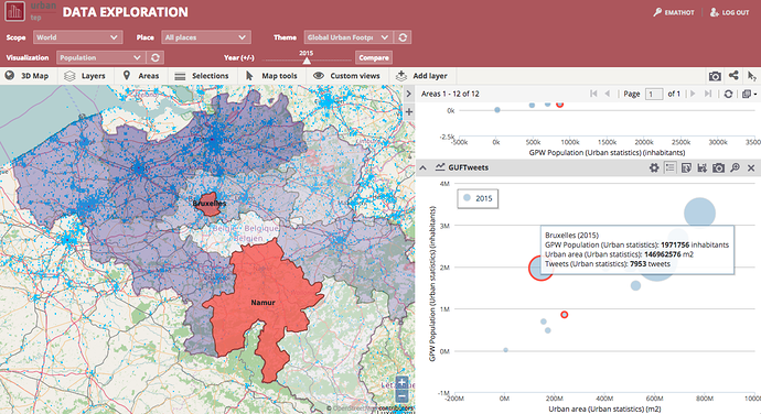
With the Data and Visualisation Toolbox available as an application on the Urban TEP portal, you can perform your own analysis of the Global Urban Footprint. You can cross the GUF with many other datasets and map layers such as
- Gridded Population of the World
- The number of geotagged tweets
- Urban Areas
- WorlPop
… and many more data and map layers.
You can then export those data to many different formats.
Don’t forget to login first on the Urban TEP
